Girl Meets City: Travel Transportation Tips
I’m rather new to traveling often, it’s something that really started about five years ago.
I’m also super Type A- I like to know where I’m going as much as possible beforehand. Unless I *plan* to just wander… I know, it can be a strange thing.
But more than anything I also like to plan for how much I’m spending. I set aside specific amounts for travel each month so that I can be prepared with cash, credit, or my debit card. It’s definitely happened to me before where one of my cards might get declined in one spot, but not another, for unexplained reasons. My credit card company claims I don’t have to call them before travel anymore, but I do it anyway just in case.
But back to transportation. How best to prepare? I had a whole lot of questions about this when friends knew I was using the Macon to D.C. flight. My answer is simpler than you might think.
Google Maps.
I use Google Maps to plug-in location to location to figure out routes, if Uber or Public transit is best, and so on. I also look up the local cities to figure out if they have multiple day passes for public transit. For instance, New Orleans has a great 3-day weekend one price pass for their busses and trolleys. So I purchased that ahead of time and downloaded their app. It was super super easy to use on their app, and I primarily rode the trolleys and walked- except for the occasional Uber ride later in the evenings when the trolley stop wasn’t right next to where I needed to be.
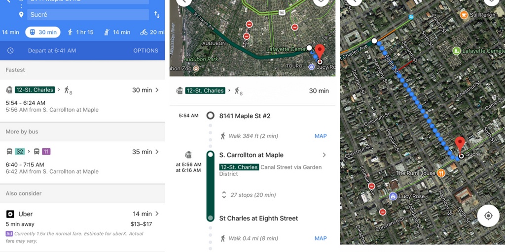
Montreal also has a great 3 day pass, or even 5 day, but I was only there for 4 so I got the 3 day pass and then a one day one.
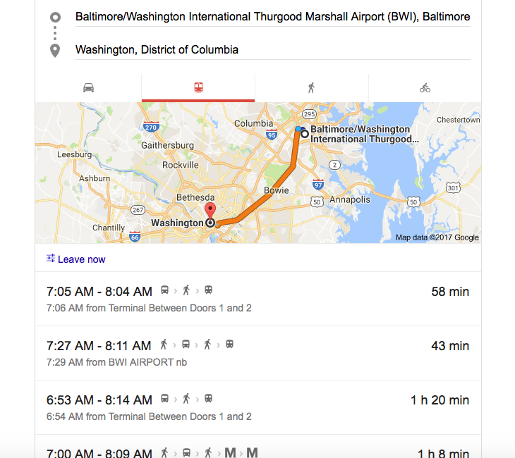
D.C. didn’t seem to have a flat rate pass, at least, not as far as I could figure out. That doesn’t mean they didn’t, I just couldn’t figure it out. So it was easily, planning- wise, to just look up how much Uber would be from stop to stop and use that for my budgeting. I did compare the Uber rates to the public transit rates- which you can do- and once I factored in that we would have 4 people it seemed to cost the same. Except that Uber will pick you up where you are, whereas with public transit you many times have to walk to the stop. I wasn’t super keen on doing that with two kids in tow on their first big trip.
In the additional case of traveling from BWI airport to DC itself, you can ride Amtrak. But you purchase tickets ahead of time or once you get there. If you purchase ahead of time, give time for them to be MAILED to your home. Now when I was price comparing on the Amtrak website, it showed only certain times available for their trains, and it was going to cost around $75 for all 4 of us round trip- according to what friends had told me the price was.
But the Amtrak website doesn’t match up to that. My best deduction from friends is that to get the super low rate you have to actually take the MARC- Maryland Transit system.
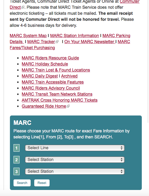
Again, for me I had visions of sitting there waiting on the train, making sure we had the right one, and all while telling two super hyped up kids to behave and sit their behinds down. The cost difference between this and Uber wasn’t huge- so Uber we went.
Even if not going to a metropolitan area with public transit, I find using this app is helpful when it comes to just planning any itinerary. It’s good to know how far away some attractions are from where you are staying because otherwise you might get caught off guard.
So there you go! My big secret really isn’t much of one, I’m sure plenty of people do the same thing- but since I’ve had so many people ask I figure it couldn’t hurt to pass the tips along 🙂
Happy travels!
Love to all y’all,
Molly


